WARDOGS WIKI · MAP DATABASE
Maps & Battlefield Systems
WARDOGS map knowledge is more than terrain. The battlefield, randomized 2×2 km Control Zone, towers, vehicle routes and forward support systems all interact. Start with the map you are actually playing.
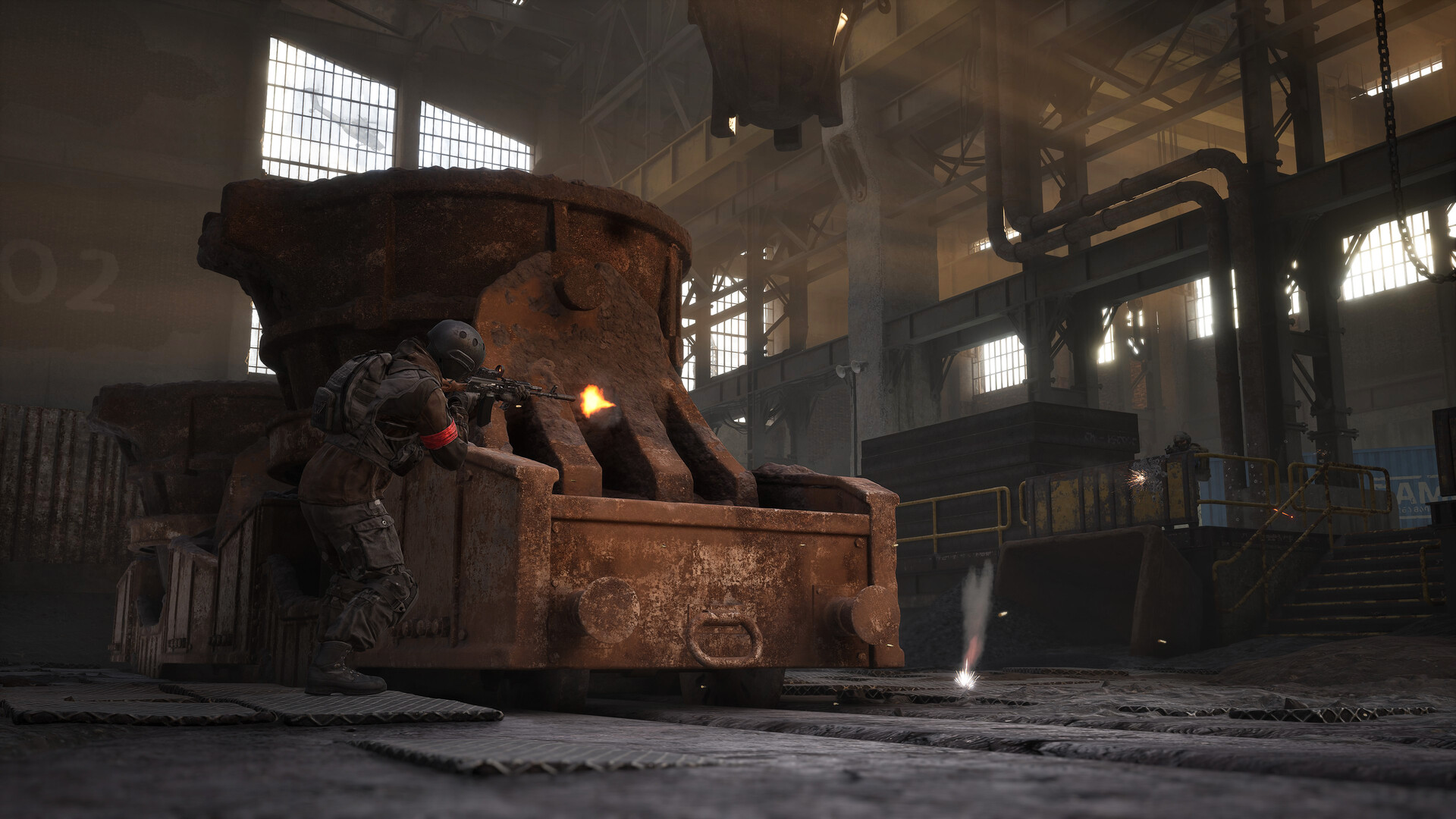
Named maps3
Control Zone2×2 km
Teams3
Score to win100
Bakurani towers5 recorded
Ozeti towers4 recorded
Choose a map
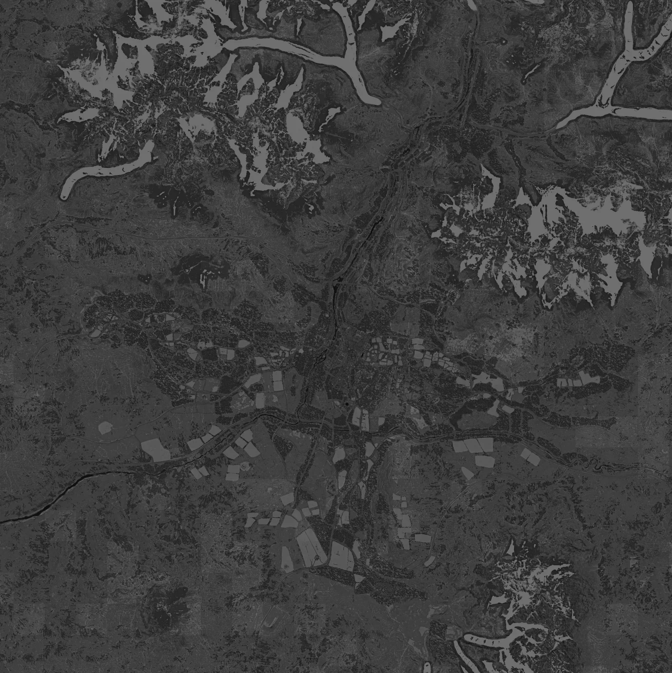 BakuraniRiver valley · factory district · five recorded towersOpen terrain reference →
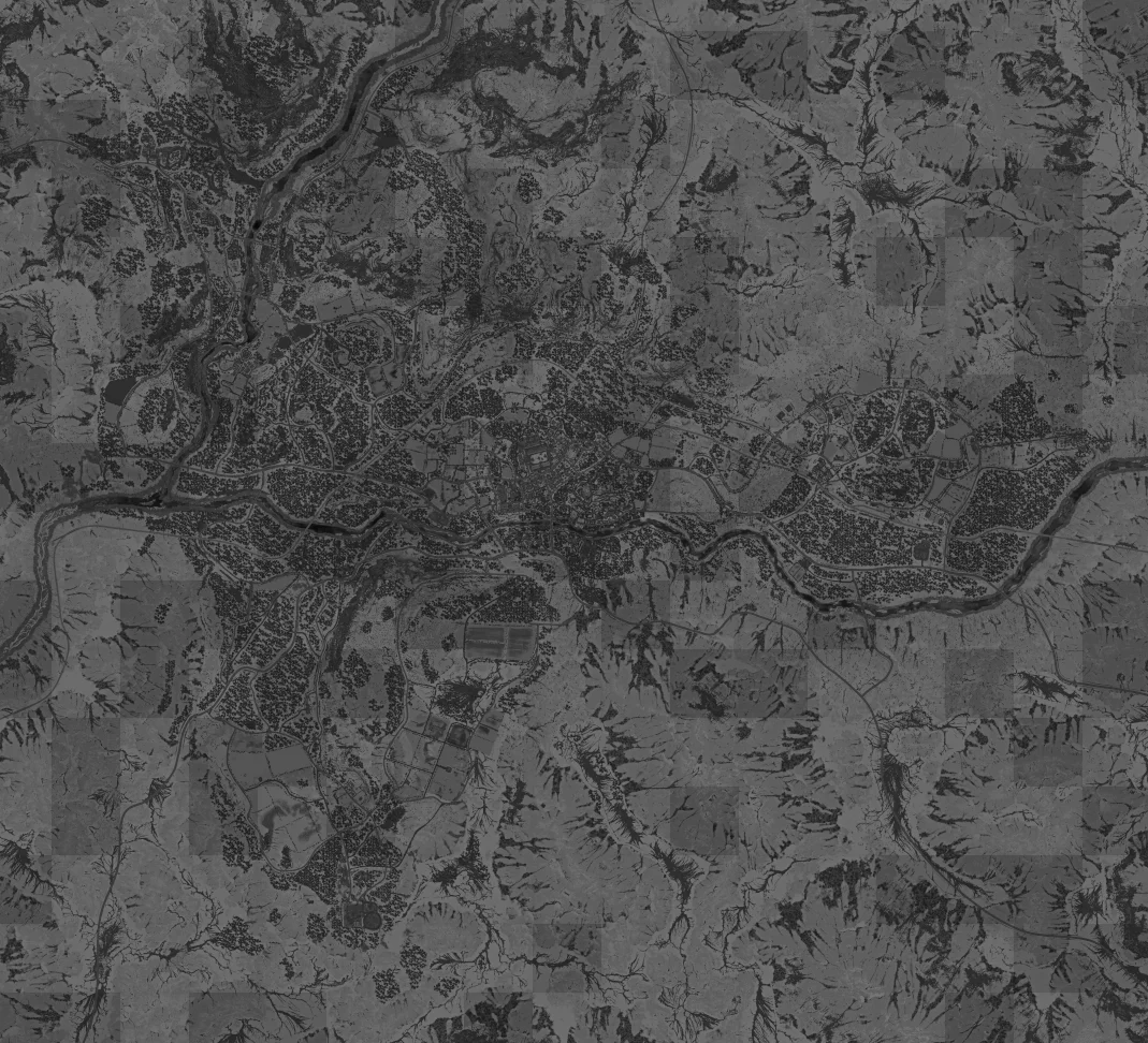 OzetiHill town · stadium landmark · four recorded towersOpen terrain reference →ZestafonaThird map · industrial identity · current reference coverageOpen map page →
Terrain and objective are different layers
Battlefield layer
The full terrain determines roads, cover, water crossings, hills, built-up areas and vehicle access. It tells you how you can move.
Objective layer
The randomized Control Zone determines where player presence matters for scoring in the current match. A familiar route can become irrelevant if it no longer serves the zone.
Read the map in this order
- Confirm the map name.
- Find the current Control Zone.
- Identify nearby tower / support systems.
- Choose infantry or vehicle approach.
- Re-check the route after the fight shifts.

Objective & support systems
Control ZonePresence scoring, randomized placement and route implications.Core objectiveTowersRecorded tower positions and reported capture interactions.Map mechanicDrillsDrill Rigs, FOB support and wider map pressure.Support mechanicFOB BuildingForward staging, logistics and route reduction.Construction
Map reference index
| Page | Best use |
|---|---|
| Bakurani | Terrain orientation, coordinate window and 5 recorded towers |
| Ozeti | Town/stadium orientation, coordinate window and 4 recorded towers |
| Zestafona | Third-map identity and current environmental reference |
| Control Zone | Scoring and randomized objective placement |
| Towers | Tower role and reported interaction flow |
| Drills | Drill / FOB support layer |